
- Decrees and Regulations
- Notices and Calls
- ECST Phase I
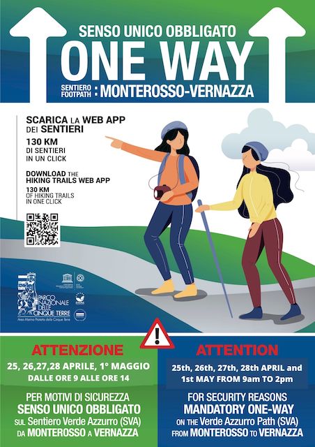
- Travel Suggestions
- Online documents
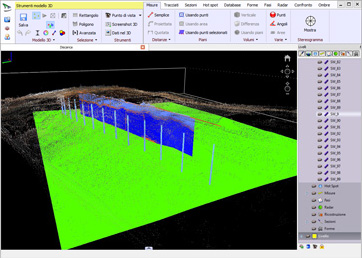
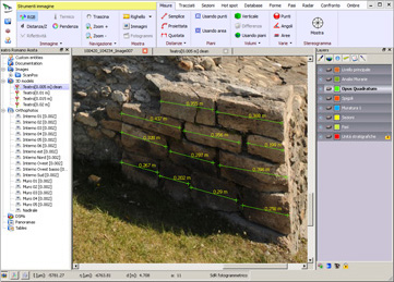
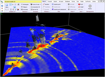
The ADHOC company, that won the tender for the execution of three-dimensional geometric surveys of the coastal stretch of the 5 Terre National Park, will carry out the free course within the “Maregot” Interreg project for the use of the ADHOC3D software (https://www.adhoc3d.com/it/software/).
The software allows you to view and process data from laser scanner and photogrammetric surveys. It also allows to retrieve information from the data, such as geometric measurements and topographical sections in a georeferenced environment. The modular structure of the program gives the possibility to develop new functionalities based on the needs of the customers: in the case of coastal erosion and instability along cliffs and high coasts, the fields of application can be multiple (estimate of displaced volumes, amount of material eroded from the beaches, section extraction and morphometric detail analysis).
The course will be held on Monday 30 and Tuesday 01 October 2019 at the 5 Terre National Park. The maximum number of participants cannot exceed 20-25 people.
